
Private Tours / Golan Heights / Private full-day tour
Read the north through the land
Golan Heights: Volcanoes, Water and Borders
Basalt, craters, springs, reservoirs and commanding viewpoints reveal why the plateau matters scientifically, economically and strategically.
- Full day
- Optional hiking
- Volcanic plateau & viewpoints
- English or Spanish

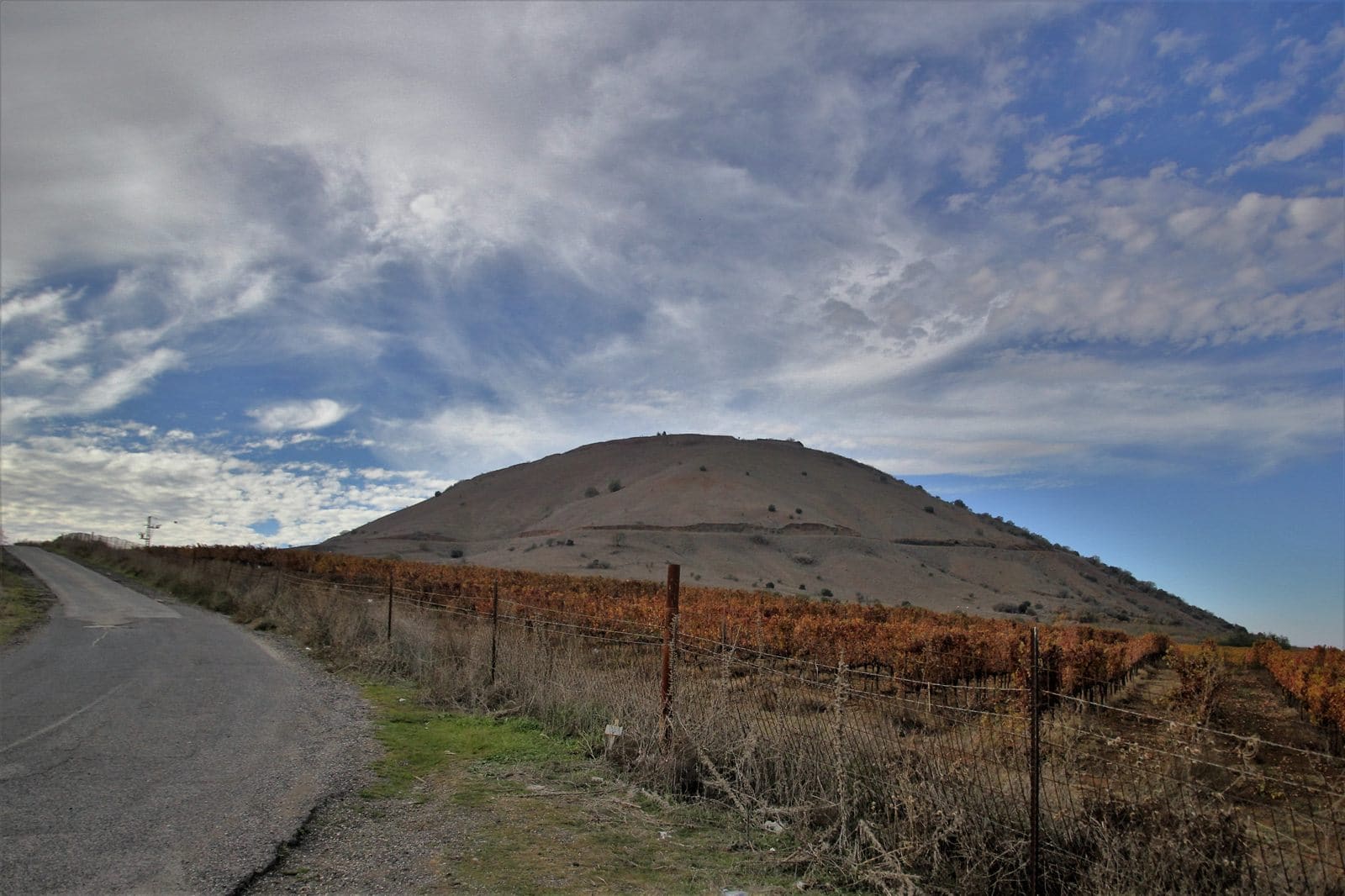
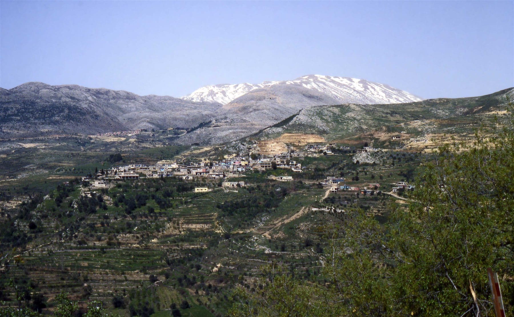
The Golan is a landscape where extinct volcanoes, water systems and elevation still shape agriculture, settlement and conflict. This private tour begins with the land itself. The day can emphasize geology and nature, contemporary borders, history — or combine all three.
How the day can unfold
Volcanic landscape
Recognize cones, basalt and the signs of an ancient volcanic field.
Water and ecology
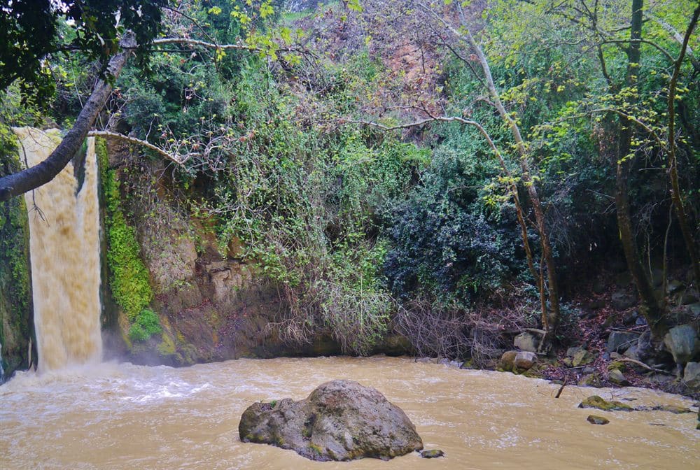
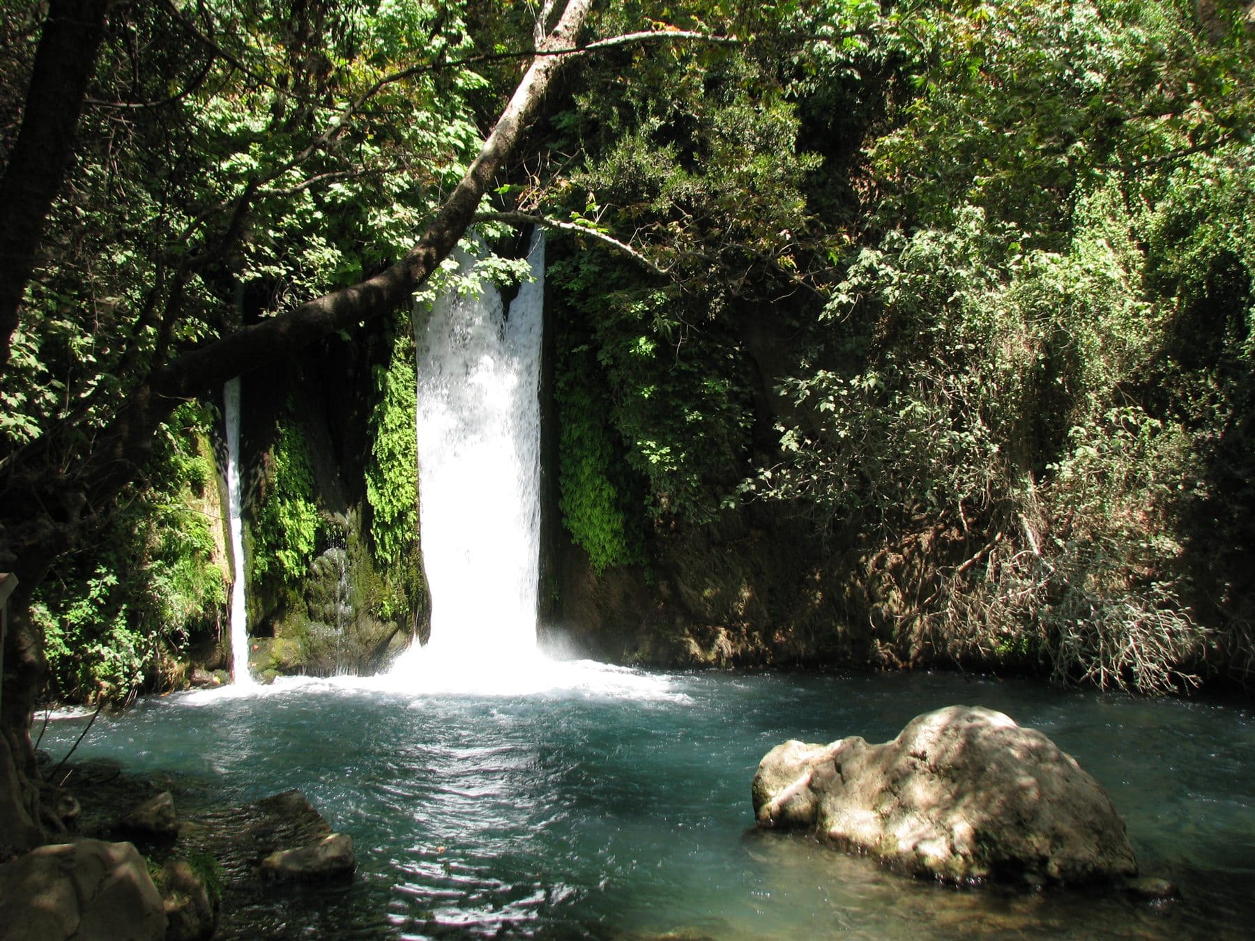
Follow springs, streams, wetlands or reservoirs according to season.
Agriculture on basalt soil
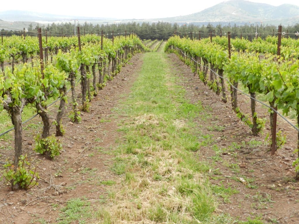
Connect orchards, vineyards and cattle to climate and soil.
Border viewpoint
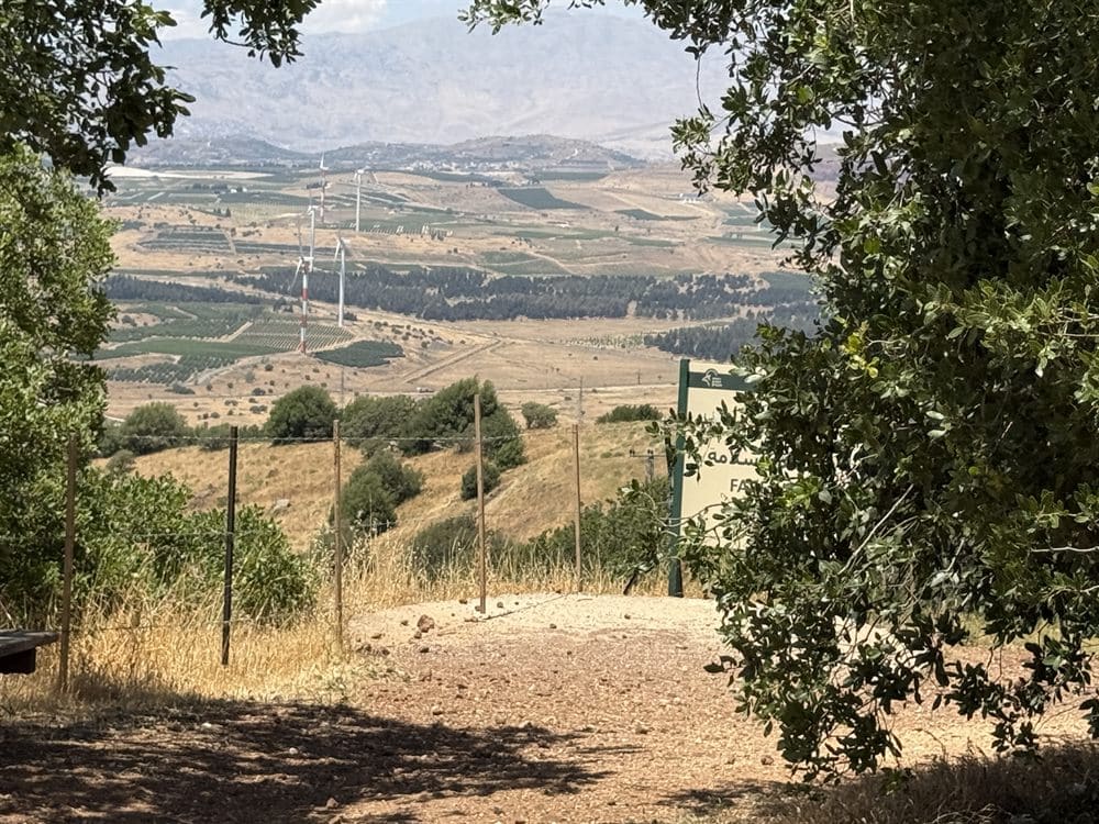
Use geography to understand Syria, Israel and the strategic importance of elevation.
Layers of settlement
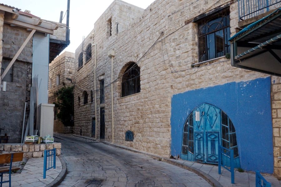
Move from ancient communities to modern kibbutzim, moshavim and Druze towns.
Seasonal nature
Wildflowers, migration, snow or summer dryness depending on the date.
Why this tour matters
Volcanoes explain the plateau
Basalt fields and volcanic cones show how the landscape was formed.
Water explains settlement
Rainfall, streams and elevation help explain agriculture and the importance of the northern watershed.
Topography explains strategy
High ground and lines of sight make border history understandable without reducing the region to politics alone.
Who this is for
How Ari guides this subject: Ari begins with visible evidence — rock, slope, water, distance and elevation. Political and military history enters only after the terrain is understood. He separates stable geographic facts from changing operational or political information.
Good to know: The Golan changes dramatically by season. Route design depends on weather, heat, snow, road access, border conditions, walking ability and starting point. Long driving distances should be planned honestly.
Frequently Asked Questions
Is the Golan safe to visit?
Conditions can change. The route must follow current official guidance on the specific date.
Do we need to hike?
No. Many key ideas can be explained from accessible viewpoints, with optional walks.
Is this mostly a military tour?
No. Geology, water and ecology lead the experience; borders are one important layer.
Can children enjoy it?
Yes. Volcanoes, basalt, animals, water and viewpoints create natural entry points.